 |
| On Weyers Cave Rd heading east from Interstate 81. You can see the Blue Ridge Mountains in the distance. |
 |
| Map from Civil War Trust website |
 |
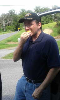
| Having a snack. decided to eat a slice of lemon at the Port Republic Battlefield for "O'l Blue Light." |
 |
| The Blue Ridge Mountains represented the eastern border of the Shenandoah River Valley. |
 |
| In the Area of the Cross Keys Battlefield. The land is mostly privately owned farm land. I was unable to find and historical markers. |
 |
| Map from the Civil War Trust Website. |
 |
| At the end of Turner Ashby Lane off Neff Ave. in Harrisonburg, Va. |
 |
| General Turner Ashby's Memorial Marker. |
 |
| The view from the Confederate right flank looking forward and left towards the Union advance. |


No comments:
Post a Comment
Note: Only a member of this blog may post a comment.